Torthorwald has all the attributes of a medieval village; Castle, Church, water supply and workable agricultural land, although in this present day very little is left of the original fabric of the village, new developments in the form of dwelling houses have taken the place of the old crucks and quaint little rights of way to the various wells that were once the main source of water supply for the villagers.
The History of the Castle is fascinating.
( Also available in this document – complete with footnotes & references – Torthorwald Castle. )
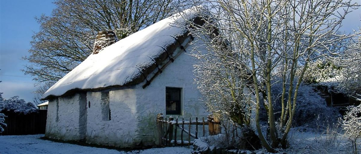
The origins of the cottage are largely lost in history. However, an article on the ‘Paton Cottage’, the boyhood home of the missionary Dr John Gibson Paton, which stood next door to our cottage, gives an insight into this type of construction.
In the mid 19th century there were little signs of habitation on the South side of the village, apart from the castle ruins, the church, manse, school and schoolhouse. The main concentration of houses, many of them cruck cottages, was on the North side, on the Shieldhill Road. There were also sizeable villages down the hill at West and East Roucan, the most of which no longer exist.
All these can be seen here on the old maps. T0rthorwald map :: Roucan map